Distance: 2.25 miles out and back
Difficulty: Easy
Elevation Gain: Less than 5% grade
Trail Highlights
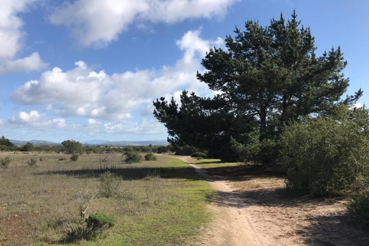
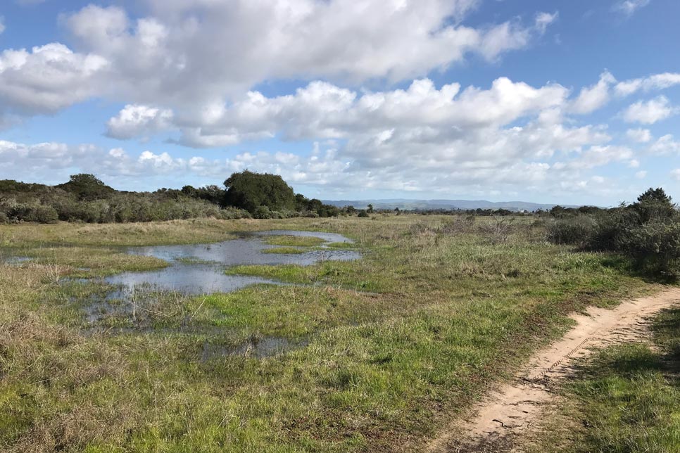
The Burton Mesa Loop Trail South offers visitors a chance to experience one of California’s last remaining stands of maritime chaparral. The trail winds through a variety of habitats, including oak woodlands, savannas, coastal sage scrub, meadows, and grasslands. Wildlife is abundant, with possible sightings of badgers, bobcats, deer, mountain lions, and a wide range of bird species. The area is also home to native plants such as ceanothus, manzanita, chamise, California coffeeberry, and black sage.
Trail Description
This 2.25-mile loop features a dirt and sand surface with an average width of 4 to 8 feet. The trail is relatively flat with a gentle grade, making it suitable for hikers of all skill levels. Shade varies along the route, and some areas include sandy terrain. Starting at the trailhead near Cabrillo High School, the trail takes you through the heart of the Burton Mesa Ecological Reserve, a protected 5,368-acre area between the Purisima Hills and Santa Ynez Mountains. Along the way, interpretive kiosks provide information about local plants and animals.
The reserve is a tranquil retreat, offering opportunities for walking, hiking, birding, wildlife viewing, and running. The trail is restricted to foot traffic only, and no bikes or equestrian use is permitted. There are no restrooms at the trailhead, so plan accordingly.
Directions
The trailhead is located at 4400 Constellation Road in Lompoc, California. From Lompoc, head north on State Route 1 toward Vandenberg Village and turn right onto Constellation Road. If traveling from Buellton on Highway 101, take State Route 246 west toward Lompoc and turn right onto Purisima Road before connecting to Constellation Road. On-street parking is available near the trailhead.
For more information, visit https://healthypeoplehealthytrails.org/maps/burton-mesa-loop-trail-south.pdf
