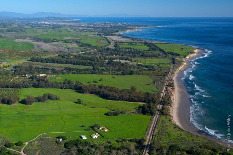
Closing the Gaps From Guadalupe to Carpinteria
Walking the California Coastal Trail in Santa Barbara County is not easy. There are many gaps in the trail. Segments on publicly owned land are not built. Segments on private land may happen in the future. In theory, the coast can be walked at low tide, but places like Vandenberg SFB restrict public access to their coastline. Below are links to maps created by the California Coastal Trail Association that provide a clear picture of the trail’s status in our county and throughout the state. Routes are subject to change and may not be up-to-date with current planning to address gaps in the trail.
Gaviota Coastal Trail Segment
 The Gaviota segment of the California Coastal Trail is remarkably scenic, offering dramatic views of the Pacific Ocean, the Channel Islands, the coastal terrace, and the ridgelines of the Santa Ynez Mountain range. In addition, this region’s dramatic topographic features, native habitats, and rural character make the area’s coastal resources very special for residents and visitors alike. Completing the Gaviota Coastal Trail segment would create healthy recreation opportunities by providing people of all ages with attractive, safe, accessible, low-cost places to cycle, walk, hike, and jog. Additionally, a trail in an area people want to visit helps both young and old incorporate exercise into their daily routines.
The Gaviota Coast segment of the Coastal Trail would provide access to the last remnant of Southern California’s undeveloped coastline. A rich mixture of cultural, biological, and geological resources enhances its scenic value. The Gaviota Coastal Trail will provide the public with access to a picturesque coastline boasting a rich and vibrant history. Furthermore, the California Missions Trail follows a portion of the Gaviota Coast (east of Refugio Road) on its way to and from the Missions in Santa Barbara County. Trails are a source of community identity and pride, magnified when they provide access to historic and cultural resources.
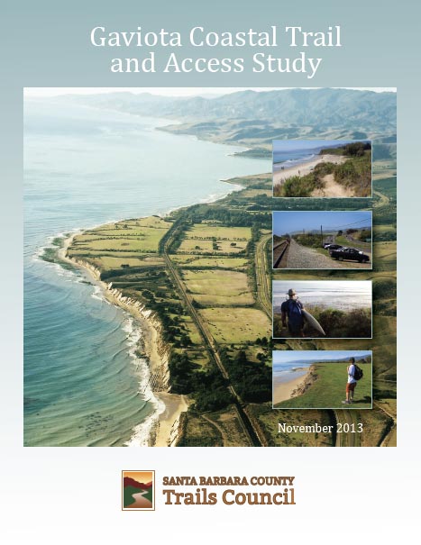
In 2013, the Trails Council published the Gaviota Coastal Trail and Access Study. The Trail Study offers valuable information and recommendations for interested parties and stakeholders to consider as part of ongoing development projects and long-range planning efforts on the Gaviota Coast.
Learn More →
Information about Santa Barbara County begins on Page 180
NOTE: Coastwalk/California Coastal Trail Association makes no representations or warranties as to the accuracy or completeness of the data on this site and assumes no liability for its use. Information regarding the Coastal Trail routes is subject to change and may not be up-to-date.
- Santa Barbara Section 1 | Guadalupe Dunes, Nipomo Dunes Preserve, to Point Sal to Highway 1 at Brown Road
- Santa Barbara Section 2 | Highway 1 at Brown Road to Lompoc
- Santa Barbara Section 2a | Heart of Vandenberg Coast from Ocean Beach County Park
- Santa Barbara Section 3 | Lompoc to Gaviota State Park Pier via Highway 1
- Santa Barbara Section 3a | Southern Vandenberg Coast and Point Conception from Jalama
- Santa Barbara Section 4 | Gaviota State Park Pier to Refugio Creek, Refugio State Park
- Santa Barbara Section 5 | Refugio Creek, Refugio State Park to El Capitan State Park
- Santa Barbara Section 6 | El Capitan State Park to Isla Vista
- Santa Barbara Section 7 | Isla Vista to Goleta Beach County Park
- Santa Barbara Section 8 | Goleta Beach County Park to Arroyo Burro Beach County Park
- Santa Barbara Section 9 | Arroyo Burro Beach County Park to Stearns Wharf, Santa Barbara
- Santa Barbara Section 10 | Stearns Wharf, Santa Barbara, to Lookout County Park
- Santa Barbara Section 11 | Lookout County Park to Carpinteria State Beach
- Santa Barbara Section 12 | Carpinteria State Beach to Rincon Beach County Park