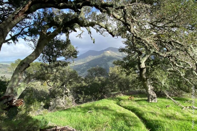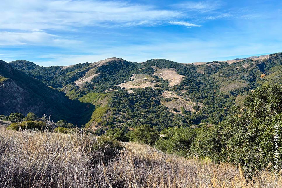
Gaviota State Park is a beautiful spot along the Santa Barbara coastline, known for its mix of ocean views, rolling hills, and unique natural features like wind caves and hot springs. It’s the perfect place for anyone who loves hiking, exploring, or just soaking up incredible scenery. Whether you’re up for a challenging climb to one of the peaks or a casual walk through the canyons, this park has something for everyone.
Map: Gaviota State Park Trail Map
Directions:
Gaviota State Park is located off Highway 101, approximately 33 miles west of Santa Barbara. To reach the park, take the Highway 1 exit toward Lompoc/Vandenberg Air Force Base and follow signs to the Gaviota State Park entrance. Parking is available near the trailheads, with day-use fees required. Be sure to arrive early, as parking can fill up quickly, especially on weekends and holidays.
Read about some of the most popular trails below:
Gaviota Peak Trail
Distance: 6.1 miles
Difficulty: Hard
Elevation Gain: 2,178 feet
At 6.1 miles, this challenging out-and-back hike offers some of the best views of the ocean and surrounding foothills. The trail follows a steady climb along fire roads with minimal shade, so pack plenty of water and sunscreen. On a clear day, the summit views make the effort well worth it. Expect about 4 hours of hiking on this rewarding route.
Trail Link: Gaviota Peak Trail on AllTrails
Gaviota Wind Caves Trail
Distance: 2.4 miles
Difficulty: Moderate
Elevation Gain: 688 feet
This 2.4-mile trail packs a lot into a short distance. The moderate hike takes you past wind-sculpted sandstone caves with incredible ocean views along the way. The trail starts gently but becomes steeper as you approach the caves, making for a fun and scenic climb. It’s a great option for a quick outing, taking around 1.5 hours to complete.
Trail Link: Gaviota Wind Caves Trail on AllTrails
Gaviota Hot Springs and Trespass Trail
Distance: 6.2 miles
Difficulty: Hard
Elevation Gain: 2,158 feet
This loop trail takes about 4 hours to complete and combines natural hot springs, oak forests, and panoramic views from Gaviota Peak. It’s a popular trail for birding, hiking, and mountain biking. The loop can be completed in either direction, with opportunities to explore caves and rock formations along the way.
Trail Link: Gaviota Hot Springs and Trespass Trail on AllTrails
Yucca Trail
Distance: 2.1 miles
Difficulty: Moderate
Elevation Gain: 711 feet
If you’re short on time, the 2.1-mile Yucca Trail is a great pick. This moderate loop winds through scenic terrain with peaceful views, taking just over an hour to complete. The quiet, less crowded trail is perfect for a casual hike or trail run, making it a favorite for those looking for a quick escape into nature.
Trail Link: Yucca Trail on AllTrails
