2026 Project Update
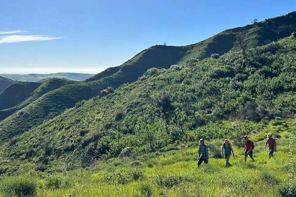
Heavy rain hit the Gaviota Coast and nearby mountains over three days, ending at midnight on January 5th. In the mountains above Baron Ranch trails, more than 8 inches of rain fell. This caused landslides, rockfalls, and erosion. Some damage can be repaired by volunteers, but larger issues will require trail crews to work for up to 10 weeks to repair the 11-mile trail network. Excavators and crews will be needed to regrade the worst slide areas so people can use the trails safely. The Baron Ranch Trails are closed as of January 7th. See photos showing damage to trails.
Help make a difference. Donate Today
2025 Project Update
Trails Council invested $15K in clearing 3.4 miles of the Arroyo Quemado Trail single-track trail in the Los Padres National Forest and a portion crossing county-owned property. Just as the post-fire habitat restoration project reached maturity, the oil pipeline construction crew tore out 25% of the native plants in the restoration area. Once again, Trails Council interns and volunteers have stepped up to maintain native plant habitat along the entranceway to the Baron Ranch trail system.
2024 Project Update
The long-awaited official grand opening for the Arroyo Quemado Trail occurred on February 16th, 2024. Costly repairs to the Loop Trail were completed in the fall of 2024. The kiosk structure was added in the spring. The habitat restoration project along the entryway to Baron Ranch requires ongoing maintenance.
2023 Project Update
In the fall of 2023, a mile-long trail segment was added to the Baron Ranch trail network. Located between the pedestrian bridge and the first at-grade creek crossing, the new route allowed trail users to see a more expansive view of the canyon. At the same time, work was being done to repair the Loop Trail from damage inflicted by rain events earlier in the year and the previous winter. The habitat restoration project along the entryway to Baron Ranch required ongoing maintenance.
2022 Project Update
Soon after the Alisal Fire, the winter rains began to fall. With almost no vegetation to absorb the rain, even a half-inch of rain caused massive levels of erosion and landslides. Field surveys conducted by Ray Ford in the 2021/2022 winter rainy season documented that the ranch roads in the upper canyon were seriously impacted by the loss of vegetation and subsequent winter rainstorms. The extensive restoration required for the Arroyo Quemado Trail and the Loop Trail far exceeded all expectations. Much of the habitat restoration area along the entrance to Baron Ranch was nothing more than mineral soil after the fire. A new round of planting and watering native plants began in the fall.
2021 Fall Project Update
Alisal Fire started on October 11, 2021, at 2:30 pm near the Alisal Reservoir in the Santa Ynez Valley. The fire burned the full length of the 1083-acre Baron Ranch property and the six-mile-long Arroyo Quemado Trail that stretches from the crest of the Santa Inez Mountains to the frontage road along Highway 101. The trail opened for seven days a week only five months earlier. The one-acre habitat restoration area along the entryway to the trail network burned to mineral soil. The damage from the fire is beyond imagination.
2021 Spring Project Update
The Trails Council played a significant role in planning, funding, and implementing new trails, as well as the realignment of existing trails. The Trails Council did the work in coordination with the Santa Barbara County Community Services Department, Parks Division, and the County Public Works Department.
A 1.35-mile realignment of the existing Baron Ranch Trail (opened in 2010) was relocated from the eastern side of the creek to its western side via a bridge spanning the creek, reconnecting with the existing trail at an at-grade creek crossing. The main trail, now renamed Arroyo Quemado Trail, includes the entire trail segment within the County’s jurisdiction, extending northward and connecting with the trail segment beginning at the Los Padres National Forest (LPNF) boundary. The distance from the trailhead to Camino Cielo is 6 miles.
Ten years of making improvements include a vehicle turnaround area, a 65-foot-long bridge, interpretive signage, new gates, fencing, and directional and informative signs. The Trails Council restored the native habitat around the trailhead and along the entrance road. Volunteers planted over one acre of land previously dominated by invasive species with 400 native plants. Dozens of volunteers helped with hand watering, weeding, and hands-on plant care.
Trail Access to Camino Cielo and Gaviota State Park
The combination of the Loop Trail and the Arroyo Quemado Trail enhances non-motorized public access across County-owned land and an area of LPNF that has historically been inaccessible via any established route. This combined County-LPNF Trail is one of only two Front County trails to provide access to LPNF land in the 26-mile reach of the LPNF west of California State Route 154. The Arroyo Quemado Trail offers connections to West Camino Cielo within LPNF and Gaviota State Park trails to the west, creating a 13.5-mile-long trail system across County, state, and federal lands.
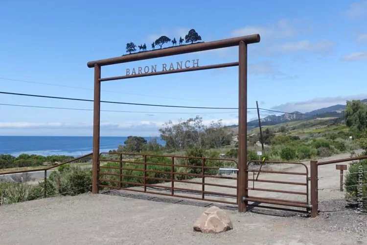
Baron Ranch Trail Map: https://santabarbaratrails.org/maps/brt/baron-ranch-trail-map-2023.pdf
Project History
Location:
County of Santa Barbara | Gaviota, CA
Description:
Baron Ranch Trail Design, Permitting and Construction: The Trails Council managed trail design, permitting, and environmental review for the construction of a 6-mile-long trail reaching from Highway 101 to the crest of the Santa Ynez Mountains on the Gaviota Coast. Our team—including our Trail Construction Manager, trail crew, Executive Director, and Board Members working alongside civil engineering and environmental consulting firms—surveyed the preliminary trail line and plotted coordinates for alignment. GIS-based maps were then prepared for the design of the Upper Baron Ridge Trail, a new 3.4-mile trail along a steep ridgeline from Baron Ranch, across the Land Trust’s Arroyo Hondo Preserve, ascending nearly 2,000 feet to the crest of the Santa Ynez Mountains and West Camino Cielo.
An environmental consultant completed a National Environmental Protection Act required Environmental Assessment and supporting biological and cultural resource studies, with all the necessary design, environmental documentation, and construction funded by the Trails Council through grants and private fundraising. Subsequently, the Trails Council designed the Lower Baron Ranch Trail, which involved relocating over 2 miles of existing trails from the east side of Quemado Creek to the west side, designing a 120-foot-long free-span bridge across the creek, and developing a new public trailhead parking area/horse trailer turnaround and entrance improvements within County ROW along Calle Real. The project was supported by close coordination with County Parks Department staff, a civil engineering firm for designing the new parking lot and creek bridge, and an environmental consulting firm to prepare the Initial Study/Mitigated Negative Declaration as required by the County under the California Environmental Quality Act.
Two hearings, including a Planning Commission hearing, saw public presentations, ensuring extensive coordination between the County Parks Division, the Department of Public Works, and the Office of the 3rd District Supervisor.
Client:
U.S. Forest Service & County of Santa Barbara | Community Services | Parks Division
Funding:
Trail planning was funded by grants to the Trails Council from Goleta Valley Land Trust, UCSB Associated Students, and WWW Foundation, along with funds from the County of Santa Barbara. Trail construction was funded by grants to the Trails Council from the National Forest Foundation, WWW Foundation, Sierra Club, community members, and funds from the County of Santa Barbara.
Contact:
Jill Van Wie, Capital Projects Manager
805-568-2470; jvanwie@co.santa-barbara.ca.us
John “Pancho” Smith, District Ranger, Santa Barbara District
Learn More →
Arroyo Quemado Trail and Loop Trail information