Distance: 5 miles out-and-back
Difficulty: Moderate
Elevation Gain: 1,000 feet
Trail Highlights
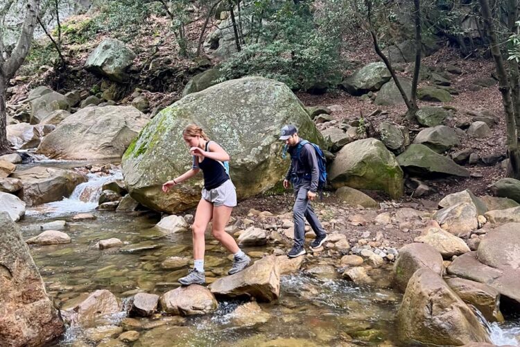
Rattlesnake Canyon Trail is a favored destination in Santa Barbara, offering hikers a moderately challenging route through diverse landscapes. The trail winds alongside a year-round creek, providing ample opportunities to enjoy the soothing sounds of flowing water and observe various small waterfalls and pools. The path is mostly shaded by a canopy of oak and sycamore trees, making it a comfortable hike even on warmer days. As you ascend, you'll be rewarded with panoramic views of Santa Barbara's coastline and the Channel Islands.
Trail Description
The hike begins near Skofield Park, just off Las Canoas Road. Starting at the trailhead marked by a wooden sign, you'll cross a creek and follow the path that parallels the east side of the creek. After approximately half a mile, the trail crosses the creek again and ascends through a landscape dotted with oak and sycamore trees. At about 1.75 miles in, you'll reach Tin Can Meadow, a serene open area that offers stunning views of the upper canyon and surrounding rock formations.From the meadow, the trail becomes steeper, climbing via switchbacks to its endpoint at Gibraltar Road.
Directions
From Santa Barbara, take Foothill Road (Highway 192) and turn north onto Mission Canyon Road toward the Santa Barbara Botanical Gardens. Turn right onto Las Canoas Road and continue for approximately 1.5 miles. Park near the narrow bridge just before Skofield Park; the trailhead is marked by a wooden sign indicating the Rattlesnake Canyon Wilderness.